In this article we will go over how to edit the GPS options to make sure you are seeing the most up-to-date images available when viewing the Aerial / Satellite option.
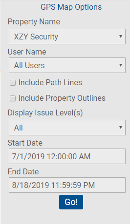
To view the GPS Map and options hover over the Issues tab >> click GPS Map. On the right side of the GPS Map select a Property from the Property Name drop-down under GPS Map Options.
Select any desired optional preferences such as User Name, Include Path Lines, Include Property Outlines, Display Issue Level(s).
Select a date range by selecting a Start and End Date then click Go!

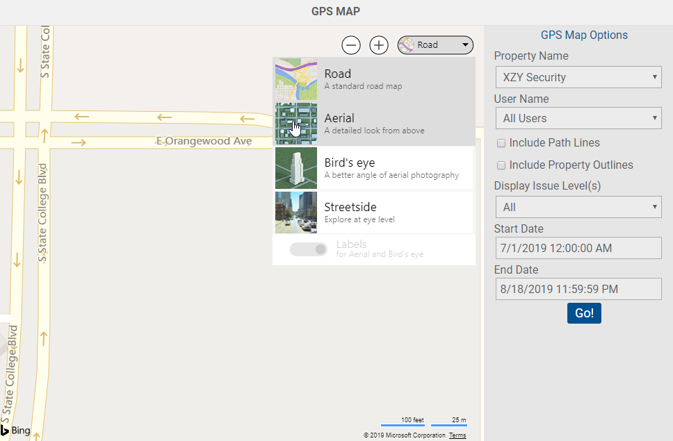
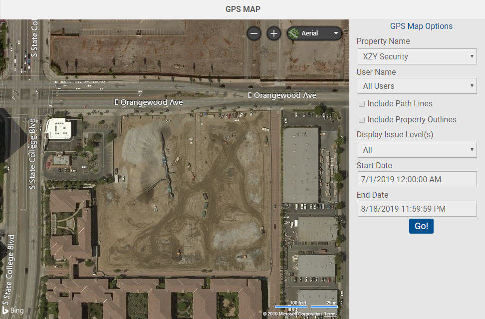
NOTE: The GPS Map will typically automatically default to the Road view. You have drop-down option to change the view to Aerial if you prefer the Satellite view.

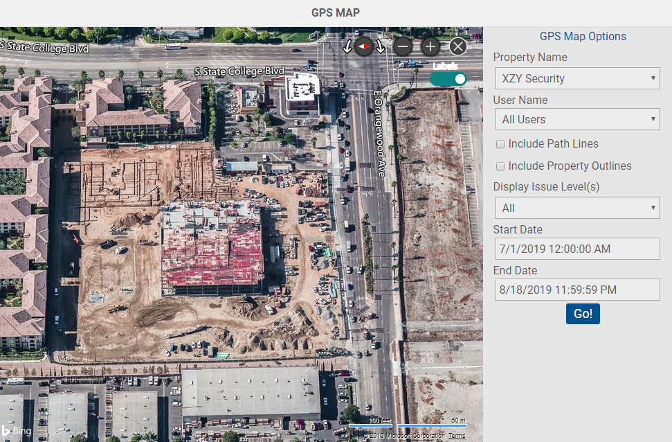
In some cases the Aerial view may be an older satellite image which dose not display the most up-to-date or accurate image, especially in cases of more recent construction.

To see if a more up-to-date Image is available to view, click on the view options drop down again and select the "Bird's eye" viewing option. In the Bird's eye view you can also view multiple views by selecting the directional rotate arrows.

The Zoom in and out (plus and minus) buttons will also sometimes also display different views.